How Igor GIS converts longitude and latitude projections to Lambert projections


Forum

Support

Gallery
Igor Pro 10
Learn More
Igor XOP Toolkit
Learn More
Igor NIDAQ Tools MX
Learn More


Forum
Support
Gallery
Learn More
Learn More
Learn More
I'm not sure what your question is- do you have data in degrees and you want a Lambert projection? Or have you seen something that was already done and you don't know how it was done? Please clarify what you need.
March 30, 2020 at 10:53 am - Permalink
Hi, friend
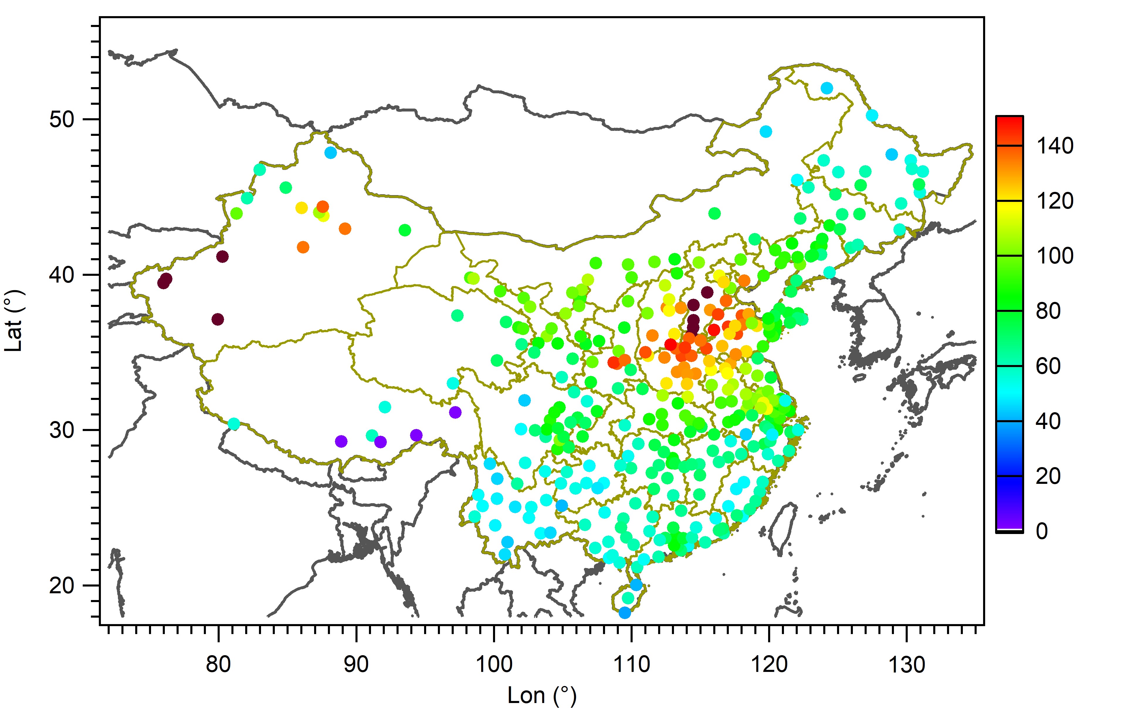
Sorry for not clarifying my question in detail. Currently, I have some site data and world-map (including China) GIS data in degrees (like the above attacment). The question is how to show my site data in the world-map on the Lambert projection by using Igor? Is there any Igor code or function for the users? I will be much more grateful if you can give me some suggestions!
Best regards
March 30, 2020 at 10:15 pm - Permalink
See the Project operation. To use it, the map must be in the form of Igor waves. That operation doesn't know about standard ellipsoids; it does spherical projections. For most purposes on a map of that scale it should be adequate.
March 31, 2020 at 11:14 am - Permalink
Hi, friend
Many thanks for your kindly help! I have found the map projection .PXP and read the help .ipf. But I still cannot append my site data (in degree) in the map (attacment). Do you have any ideas and give me some suggestion? If so, I would be very grateful!
Best
April 1, 2020 at 05:45 am - Permalink
Is your map data an image of the map? It would be best to find map data in the form of latitude and longitude data points for the lines on the map. We used to have a link we recommended where you could get a world map in such a format, but that was a long time ago. The fellow who worked on Igor's GIS capability left WaveMetrics a few years ago.
April 1, 2020 at 11:48 am - Permalink
Actually, the map data is in the form of latitude and longitude data points for the lines. The attached is the data example. You can use it to have a test and share your ideas with me!
Best
April 2, 2020 at 10:39 pm - Permalink
The project operation may require more than just input waves for the lambert projection. Using defaults, you could execute:
If you want to enter specific parameters use:
I hope this helps.
AG
April 3, 2020 at 10:19 am - Permalink
I am so much appreciating for your help. I have figured it out based on your advice. Thank you again!
April 3, 2020 at 08:45 pm - Permalink