Winkel III map projection


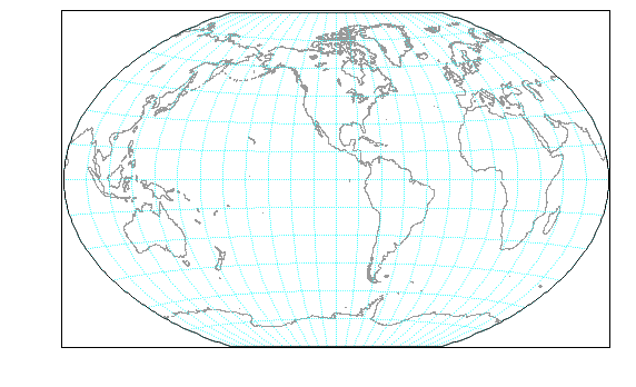
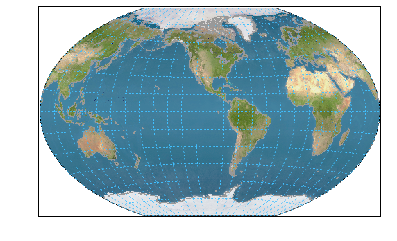
Example of the Winkel III map projection with 1-D waves and a NASA Blue Marble image. This map was developed as a background for displaying flight tracks of an aircraft field mission that spanned a wide range of longitude that wouldn’t all fit on a more traditional orthographic projection.
Submitted by: Ken Aikin, Data Manager for NOAA/ESRL Chemical Sciences Division

Forum

Support

Gallery
Igor Pro 10
Learn More
Igor XOP Toolkit
Learn More
Igor NIDAQ Tools MX
Learn More